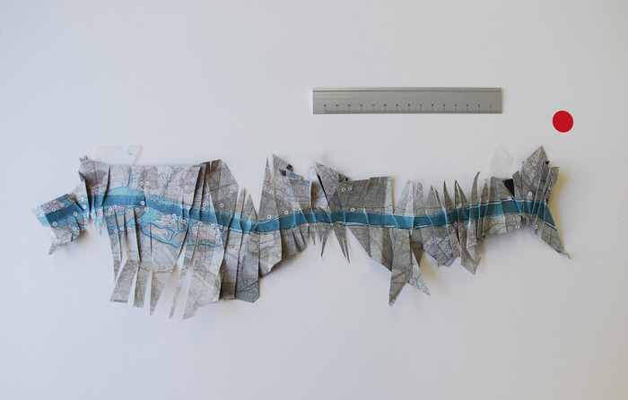
STRAIGHTENING THE THAMES RIVER Paper object
45cm x 15cm
2008Part of a suite of objects created for the project London Y-Z at the Architectural Association. Excerpt of the publication composed of work by Stankievech available for download here. Map folding/fracture developed out of collaborative typology of folding with Vera van Gool.
Research proceeded under Stankievech's premise:
TO FOLD IS TO COMPRESS AND DECOMPRESS INFORMATION.
Typology Summary available in PDF poster form by clicking on the image below or here.